
Hiking the Cumberland Trail (CT)
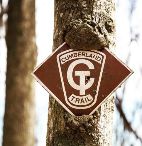
The Cumberland Trail (CT) is a rugged, north/south, foot-traffic-only trail along the eastern edge of the Cumberland Plateau in Eastern Tennessee.
Currently, 15 segments of trail have been developed, with more than 210 miles of trail open for hiking. The trail begins at Cumberland Gap National Park on the northern border of Tennessee/Kentucky. The southern end is the “Grand Canyon” of Tennessee at Signal Mountain overlooking the Tennessee River Gorge at Chattanooga.
Day hiking and overnight camping are most popular at:
- Laurel-Snow State Natural Area
- North Chickamauga Creek Gorge State Natural Area
- Three Gorges segment
- Black Mountain
Backcountry campsites are available throughout the Cumberland Trail system. Registration is required for overnight parking at some trailheads and campsites.
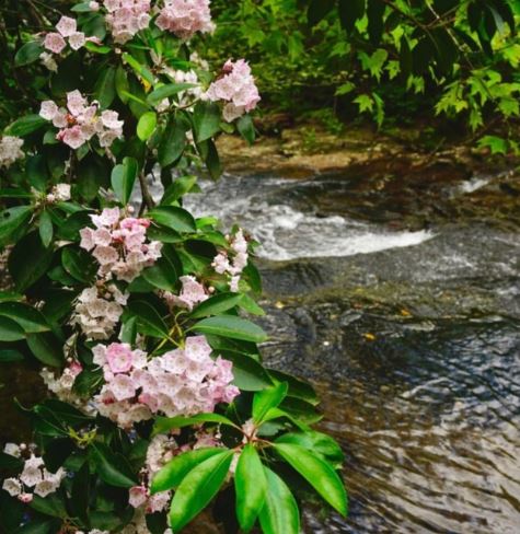
Numerous high quality streams run beside the Cumberland Trail, including the Obed Wild and Scenic River, Daddy’s Creek, Piney Creek, Laurel Creek, and Rock Creek. Bluegill, red eye, and smallmouth bass are the most popular catches from the deep pools. A Tennessee fishing license is required for adults under 65 years of age.
Hunting is allowed where the trail intersects three Wildlife Management Areas. For current fishing and hunting regulations, visit the Tennessee Wildlife Resources Agency website.
The Cumberland Trail is Tennessee’s first linear park, cutting through 11 Tennessee counties. In 2002, the park was renamed for Justin P. Wilson in honor of his work to help make the vision of the Cumberland Trail a reality. Wilson was Tennessee’s Deputy Governor from 1996-2003 and currently serves as the state’s Comptroller.
Recent Posts

 Discover Ten Mile, Tennessee: The Hidden Lakefront Gem of Meigs CountyOctober 23, 2025
 Discover Copperhill, Tennessee: History, Train Rides, and Riverfront CharmJuly 28, 2025
 Discover Calhoun: Tennessee’s Hidden Riverfront GemJuly 10, 2025
 Murals in Southeast TNJuly 7, 2025
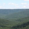 Savage Gulf State ParkNovember 4, 2024